Data Catalogue
VERSION SUPERSEDED - Census and fecundity data from the captive and wild-bred Atlantic salmon (Salmo salar L.) populations of the Burrishoole catchment, Co. Mayo Ireland 1970 - 2018
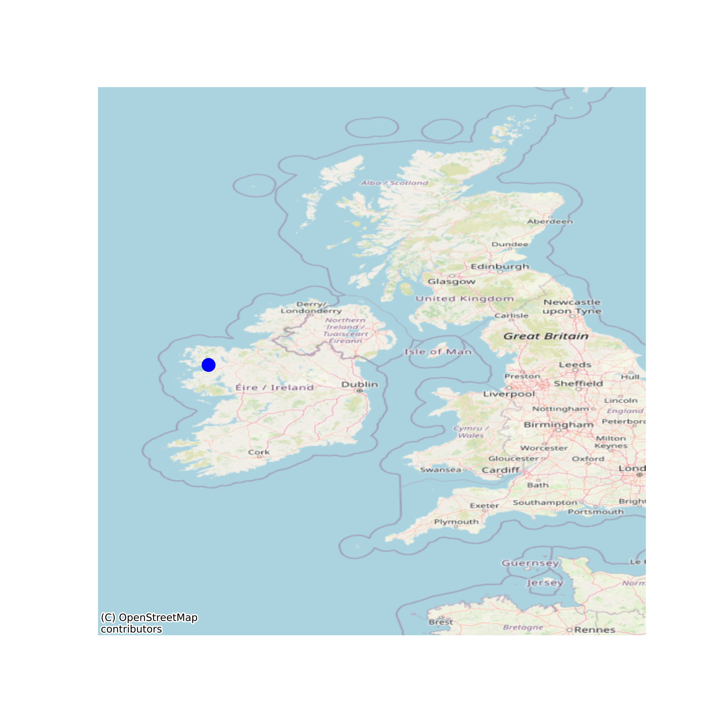
# SUPERSEDED - The dataset was originally published with a doi in October 2020 but has been superseded by an updated version. This DOI has been superseded in June 2021 by https://doi.org/10/ghkx due to corrections applied to the dataset. In the analysis of these data, annual adults-per-adult productivity for Atlantic salmon in the study catchment were estimated. Each year, salmon return after one winter at sea (known as 'grilse') or they return after multiple winters at sea (known as 'MSW' fish). In the original dataset, the MSW fish were double-counted. For example. if in 2020, 500 grilse and 20 MSW salmon returned to spawn, the original data set would have recorded this as 520 grilse and 20 MSW. This error impacted upon our population-level analysis of the Main Text and our complimentary ova-per-ovum analysis in the Supplementary Material of O’Sullivan et al 2020 https://royalsocietypublishing.org/doi/full/10.1098/rspb.2020.1671. The data was re-analysed following the update, and neither the results nor inferences changed qualitatively and we are happy that the published study is a robust, defensible contribution to the wider literature. # The Marine Institute (formerly the Salmon Research Agency of Ireland and the Salmon Research Trust) operate permanent complete fish traps in the Burrishoole catchment, Co. Mayo, Ireland, as part of a program of long term ecological research (LTER). Data has been collected since 1970. All migrating diadromous fish are enumerated between their marine and freshwater habitats. The data contains census data, fecundity data, and data on the proportion of potential wild and captive-bred (ranched) Atlantic salmon (Salmo salar L.) sampled in the Burrishoole fish traps. The text file contains R code used in the analyses of relative reproductive success between captive and wild-bred Atlantic salmon and can be used to repeat such analyses. The associated text file also contains code relevant to calculating population productivity and the unbiased estimators of relative reproductive success. The Burrishoole fish traps have the following locations: Salmon leap: 53.920323, -9.584348 and Mill Race: 53.924081, -9.571727. As records do not specify which trap the specimens were sampled in, a midpoint of 53.922202 -9.578038 has been applied as the location data in the data distribution. None
Suggested Citation: O'Sullivan, Ronan James; Aykanat, Tutku; Johnston, Susan E.; Rogan, Ger; Poole, Russell; Prodöhl, Paulo A.; de Eyto, Elvira; Primmer, Craig R.; McGinnity, Philip; Reed, Thomas E.; Murphy, Michael; Nixon, Pat; Cooney, Joseph; Sweeney, David; Dillane, Mary; Drumm, Alan; Cotter, Deirdre. (2020) VERSION SUPERSEDED - Census and fecundity data from the captive and wild-bred Atlantic salmon (Salmo salar L.) populations of the Burrishoole catchment, Co. Mayo Ireland 1970 - 2018. Marine Institute, Ireland. doi:10/fck7.
Simple
- Date (Publication)
- 2020-09-08
- Date (Revision)
- 2023-06-01
- Date (Creation)
- 2020-09-08
- Citation identifier
- ie.marine.data:dataset.4346
- Citation identifier
- 10/fck7
- Other citation details
-
O'Sullivan, Ronan James; Aykanat, Tutku; Johnston, Susan E.; Rogan, Ger; Poole, Russell; Prodöhl, Paulo A.; de Eyto, Elvira; Primmer, Craig R.; McGinnity, Philip; Reed, Thomas E.; Murphy, Michael; Nixon, Pat; Cooney, Joseph; Sweeney, David; Dillane, Mary; Drumm, Alan; Cotter, Deirdre. (2020) VERSION SUPERSEDED - Census and fecundity data from the captive and wild-bred Atlantic salmon (Salmo salar L.) populations of the Burrishoole catchment, Co. Mayo Ireland 1970 - 2018. Marine Institute, Ireland. doi:10/fck7.
- Point of contact
-
Organisation name Individual name Electronic mail address Role Marine Institute
Originator
- Maintenance and update frequency
- As needed
- Use limitation
-
While every effort is made in preparing the dataset no responsibility is accepted by or on behalf of the Marine Institute for any errors, omissions or misleading information. The Marine Institute accepts no responsibility for loss or damage occasioned or claimed to have been occasioned, in part or in full, as a consequence of any person acting, or refraining from acting as a result of a matter contained in this datasets or as a consequence of using this dataset for any purpose whatsoever.
- Use limitation
-
A Creative Commons (CC) license is one of several public copyright licenses that enable the free distribution of an otherwise copyrighted work. A CC license is used when an author wants to give people the right to share, use, and build upon a work that they have created. Under Creative Commons CC BY 4.0 the following is granted: Rights Share — copy and redistribute the material in any medium or format; Adapt — remix, transform, and build upon the material for any purpose, even commercially. The licensor cannot revoke these freedoms as long as you follow the license terms. Requirements Attribution — You must give appropriate credit, provide a link to the license, and indicate if changes were made. You may do so in any reasonable manner, but not in any way that suggests the licensor endorses you or your use. No additional restrictions — You may not apply legal terms or technological measures that legally restrict others from doing anything the license permits.
- Access constraints
- CC%20BY%204.0
- Spatial representation type
- Vector
- Language
- English
- Begin date
- 1969-12-31
- End date
- 2018-12-31
))
- Reference system identifier
- INSPIRE RS registry / http://www.opengis.net/def/crs/EPSG/0/3857
- Distribution format
-
Name Version CSV
- OnLine resource
-
Protocol Linkage Name WWW:DOWNLOAD-1.0-http--download
https://data.marine.ie/data/3d0a51e8-9b14-484b-af2e-88b7123471c7.zip CSV
- OnLine resource
-
Protocol Linkage Name WWW:LINK-1.0-http--link
http://www.marine.ie
- Hierarchy level
- Dataset
Conformance result
- Date (Publication)
- 2010-12-08
- Explanation
-
See the referenced specification
- Pass
- Yes
- Statement
-
Data supplied by Marine Institute.
Metadata
- File identifier
- ie.marine.data:dataset.4346 XML
- Metadata language
- English
- Hierarchy level
- Dataset
- Date stamp
- 2023-06-01
- Metadata standard name
-
ISDI Metadata Profile
- Metadata standard version
-
1.2
- Metadata author
-
Organisation name Individual name Electronic mail address Role Marine Institute
Point of contact
- Dataset URI
-
10.20393/3d0a51e8-9b14-484b-af2e-88b7123471c7
Overviews
Spatial extent
Provided by