Data Catalogue
INFOMAR Shipwrecks
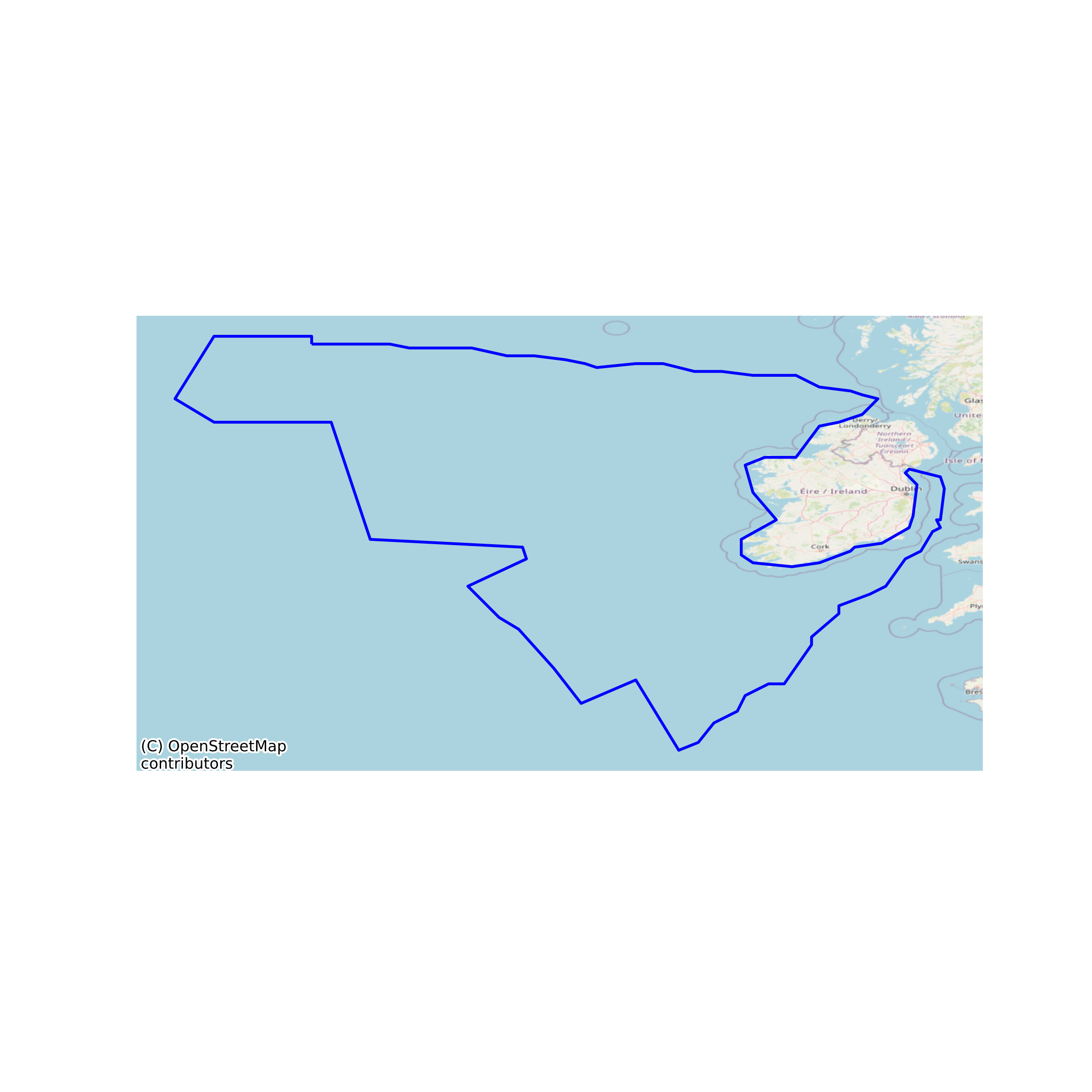
This dataset shows the point locations of shipwrecks in Irish Waters surveyed by INSS and INFOMAR national seabed mapping projects. Over 480 surveyed shipwrecks have been recorded in the INFOMAR shipwreck inventory. The database accurately records the location of shipwrecks (known, unknown and in some cases uncharted), and contains detailed information regarding each wreck's condition on the seafloor, its extent, dimensions and water depth. This is possible by means of high resolution multibeam data acquired over the site of the wreck. None
Simple
- Date (Publication)
- 2023-10-24
- Date (Revision)
- 2023-10-24
- Date (Creation)
- 2023-10-24
- Citation identifier
- ie.marine.data:dataset.5131
- Point of contact
-
Organisation name Individual name Electronic mail address Role Geological Survey Ireland
Originator
- Maintenance and update frequency
- As needed
- Use limitation
-
While every effort is made in preparing the dataset no responsibility is accepted by or on behalf of the Marine Institute for any errors, omissions or misleading information. The Marine Institute accepts no responsibility for loss or damage occasioned or claimed to have been occasioned, in part or in full, as a consequence of any person acting, or refraining from acting as a result of a matter contained in this datasets or as a consequence of using this dataset for any purpose whatsoever.
- Use limitation
-
A Creative Commons (CC) license is one of several public copyright licenses that enable the free distribution of an otherwise copyrighted work. A CC license is used when an author wants to give people the right to share, use, and build upon a work that they have created. Under Creative Commons CC BY 4.0 the following is granted: Rights Share — copy and redistribute the material in any medium or format; Adapt — remix, transform, and build upon the material for any purpose, even commercially. The licensor cannot revoke these freedoms as long as you follow the license terms. Requirements Attribution — You must give appropriate credit, provide a link to the license, and indicate if changes were made. You may do so in any reasonable manner, but not in any way that suggests the licensor endorses you or your use. No additional restrictions — You may not apply legal terms or technological measures that legally restrict others from doing anything the license permits.
- Access constraints
- CC%20BY%204.0
- Spatial representation type
- Vector
- Language
- English
- Begin date
- 2022-01-01
- End date
- ..
))
- Reference system identifier
- INSPIRE RS registry / http://www.opengis.net/def/crs/EPSG/0/3857
- Distribution format
-
Name Version Shapefile
Web Map Service
- OnLine resource
-
Protocol Linkage Name WWW:LINK-1.0-http--link
http://www.gsi.ie/
- OnLine resource
-
Protocol Linkage Name WWW:LINK-1.0-http--link
http://www.infomar.ie/
- OnLine resource
-
Protocol Linkage Name WWW:DOWNLOAD-1.0-http--download
https://gsi.geodata.gov.ie/downloads/Marine/Data/Downloads/Shapefiles/IE_GSI_MI_Shipwrecks_IE_Waters_WGS84_LAT.zip Shapefile
- OnLine resource
-
Protocol Linkage Name OGC:WMS
https://maps.marine.ie/arcgis/rest/services/Infomar/Shipwrecks/MapServer Web Map Service
- Hierarchy level
- Dataset
Conformance result
- Date (Publication)
- 2010-12-08
- Explanation
-
See the referenced specification
- Pass
- Yes
- Statement
-
Data supplied by Marine Institute.
Metadata
- File identifier
- ie.marine.data:dataset.5131 XML
- Metadata language
- English
- Hierarchy level
- Dataset
- Date stamp
- 2023-10-24
- Metadata standard name
-
ISDI Metadata Profile
- Metadata standard version
-
1.2
- Metadata author
-
Organisation name Individual name Electronic mail address Role Marine Institute
Point of contact
Overviews
Spatial extent
Provided by